City of Sand Springs releases Levee-A Evacuation Plan, Tulsa encouraging voluntary evacuation
/
The City of Sand Springs released an official Evacuation Plan for a levee-breach scenario Saturday afternoon. No levee breach has currently been detected but the City’s emergency services are being proactive.
No significant damage has been detected to Levee A at this time. However, the World War 2-era sand berms are increasingly vulnerable for as long as they are exposed to hydrostatic pressure.
In the event that a credible threat to Levee A is detected, the City will notify all businesses and citizens registered with the Emergency Phone Notification System. Businesses will be instructed to close immediately and to send all patrons and employees north of Highway 412/64.
Officers will be sent to expedite traffic, Flood Warning Sirens will sound, and no traffic other than rescue personnel will be allowed to drive south of Highway 412/64 or North on Highway 97 from South Sand Springs.
In the event of a levee breach, areas affected would include Wal-Mart, River West, all of Morrow Road, the Atwoods Shopping Center, the Harris Shopping Center, and all of Charles Page Boulevard. A full map of affected locations is below.
Officers and volunteers will be stationed in the Charles Page High School football practice field at 10th Street and Adams Road to receive airlift rescues, who will then be sent to either Broadway Baptist Church or the Ed Dubie Field House.
Relief efforts will be coordinated from the Sand Springs Emergency Operations Center in downtown.
Because of the heavy industrial operations along the river, any flooding would call for Haz-Mat quarantine in areas like OmniTrax, Morrow Road, and the entire area between Main Street and Adams Road.
The United States Army Corps of Engineers has expressed their intent to continue outflow in the range of 250,000-260,000 cubic feet per second until at least Wednesday, possibly longer if more rain affects the region.
During the historic 1986 flood, the levees were only exposed to current conditions for approximately twelve hours. They have currently been keeping flood waters at bay for more than 40 hours with at least 80 hours to go. This is the toughest test that Levee District 12 has ever endured. In December of 2016 Levees A & B were considered to be “Very High Risk” by the USACE with levee overtopping highly likely.
County officials have stressed the need for a new and improved levee system for years. According to a 2017 report, “the levees have a history of poor performance.” The 1984 flooding along Harlow and Bigheart (formerly Blackboy) Creeks caused overtopping, extensive erosion, and foundation failure of the floodwalls. Significant repairs were made after both the 1984 and 1986 floods, but concern remains.
Levee C nearly breached Thursday due to significant erosion, but Crossland Construction Company was able to build a new temporary levee overnight from shale and rock in the West Bank Soccer Complex.
The City of Tulsa is encouraging preemptive evacuation of residential areas along the levees and has increased the police presence in areas along Charles Page Boulevard. National Guardsmen have been placed along the levees to monitor the situation and help with any potential evacuations.
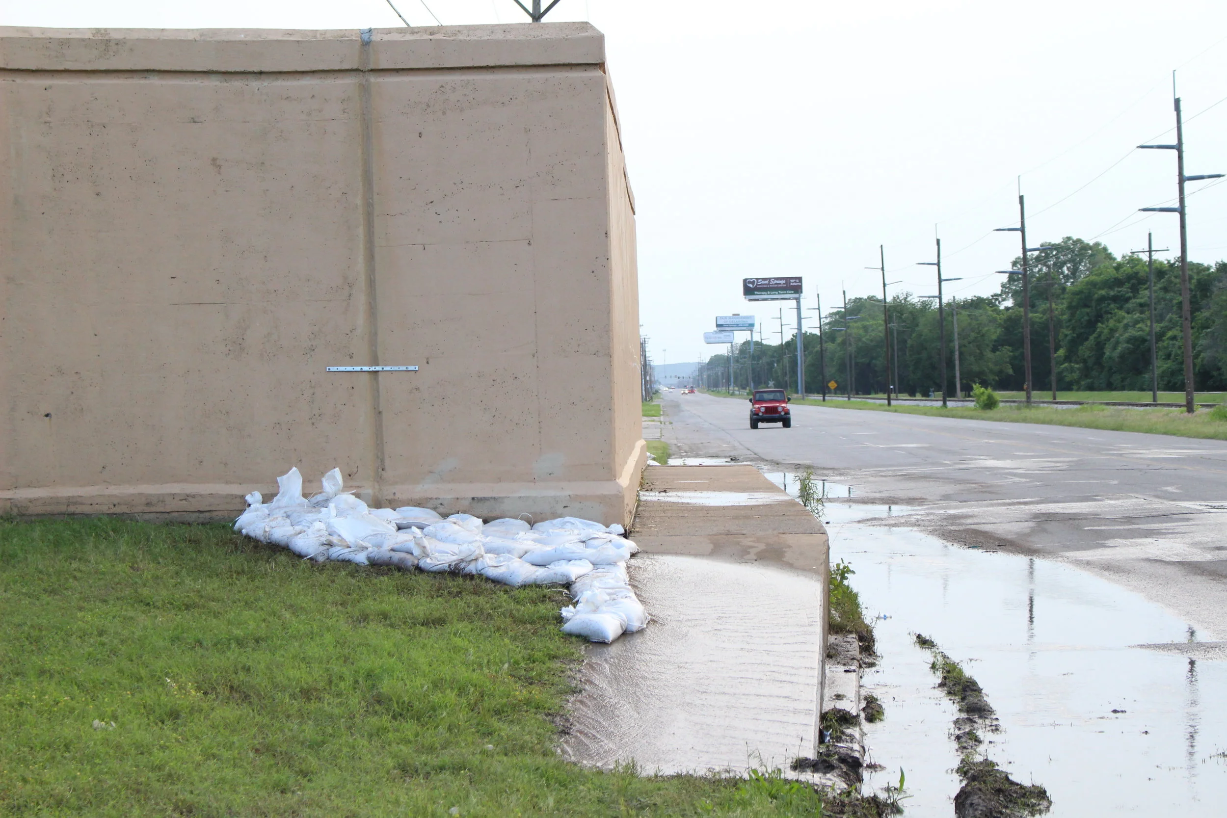
Leaks have sprung in the Levee A and B dikes at 65th and Charles Page Boulevard, an unincorporated area inside the Sand Springs fenceline. The leaks are only from joints and are considered to relatively insignificant. Sandbags were stacked along the area Friday to prevent erosion and guardsmen are monitoring the situation.